About Starrh Farms
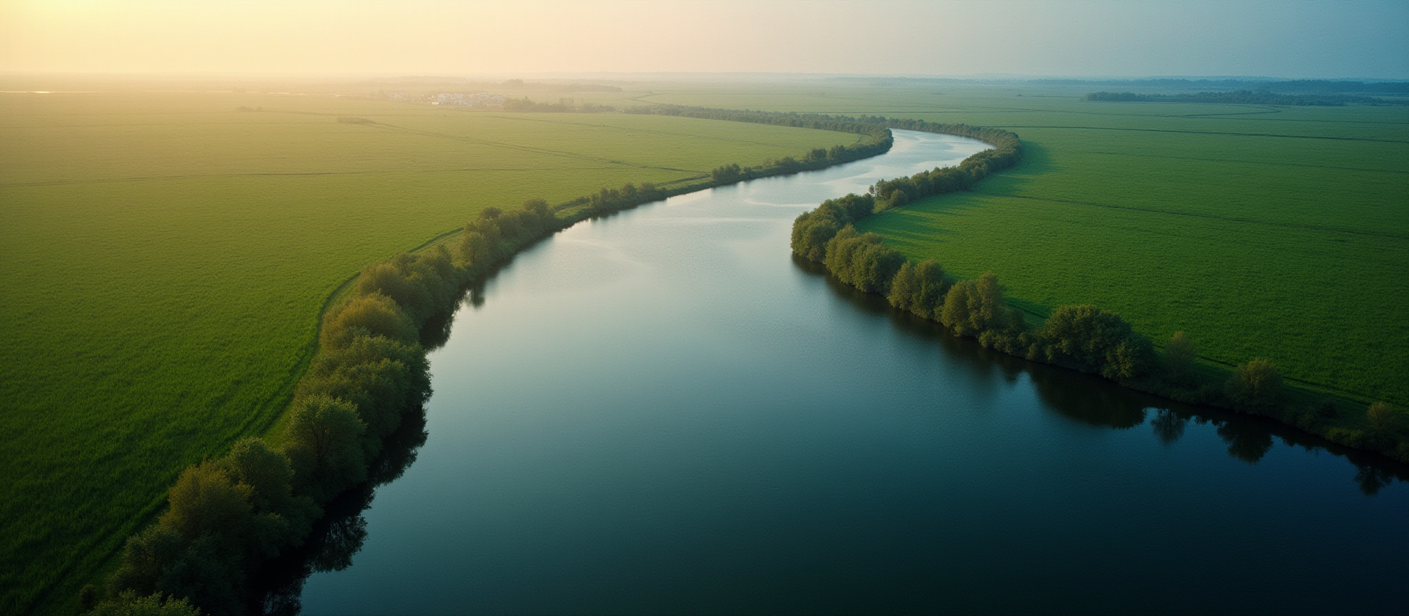
Our family has been farming in western Kern County, California since 1936, where we grow a variety of crops, including pistachios, almonds, wheat, corn, onions, and carrots, and more. We've been the fighting pollution of our county's groundwater for over 25 years, beginning with our lawsuit against Aera Energy.
Belridge Oilfield Pollution History
Oil companies operating in the Belridge Oil Field in Kern County have been pumping wastewater along with crude oil since the initial discovery of oil in the field in 1911. The wastewater of the Belridge oil fields, which the oil industry euphemistically calls "produced water", is highly toxic to both plants and animals. Among many other things, it contains high levels of chlorine and sodium, as well as boron, bromine, and strontium. It also contains CO2, emits hydrogen sulfide gas, and is unpleasant in both appearance and odor.
From the 1910s up to the 2010s, the main means of disposing of this wastewater was by dumping it into the surrounding environment. At first this involved shunting it into ephemeral stream beds, but as drilling increased, the flow became too great for these streams to handle, so simple dykes and ponds were built at the edges of the oilfield near these creek beds, which then developed into larger and more sophisticated pond structures. At some point in the 1960s, pipelines were installed to more efficiently shunt water into these large percolation ponds sitting downstream of the oilfield. To assist with percolation, oil companies would use dynamite to break up the soil and help their wastewater sink into the ground faster.

Over time these percolation ponds created a large underground mound of contaminated wastewater, which came into contact with groundwater and then formed a plume which began spreading to neighboring properties, including (but not limited to) the farm owned by the Starrh family.In 2000, the Starrh family became aware of the mound of pollution that was moving under their farm, and filed a lawsuit against Aera Energy which was operating the largest ponds in the vicinity.
Through that trial, the family learned a great deal about how oilfield wastewater works, how water moves underground, and how the bodies which are ostensibly set up to protect water supplies in California allow special exemptions that allow oil companies to continue treating the aquifer Central Valley residents and farmers use as a disposal site.After the lawsuit had been initiated (article in High Country News), Aera's ponds were shut down, and Chevron's not long after that, leaving only two ponds operating in our vicinity.
These remaining active ponds had been operated by the Valley Waste Disposal Company, which changed their name to Valley Water Management Company in 2012. This entity is a 501(c)(4) non-profit. This company disposes of oilfield wastewater on behalf of an unknown number of oil companies who operate in the Belridge Oil Field and other oil fields around Kern County.In 2019, Valley Water Management was issued a cease and desist order for one of their two ponds by the Water Quality Control Board, as a result of a lawsuit filed by a local environmental advocacy group which alleged that Valley Water Management was polluting groundwater designated as being useable for municipal and agricultural purposes.

The new strategy: De-designation
Under our farm, and in other areas of Kern County, oil companies are pursuing a strategy of "de-designation". This means that they are petitioning the Regional Water Quality Control Board of the Central Valley for a change to the legal status of groundwater in a given area, essentially stripping it of certain legal protections against pollution. Once this protection is removed, Valley Water Management will be able to apply for a new permit to restart operation of their ponds.
Although the Starrh family is affected by this strategy, we are not the only ones, and we will likely not be the last.
The argument being made by the oil companies is, in essence: we have already polluted this groundwater so much, that there is no reason to continue protecting it for agriculture. The circular reasoning is obvious, but is unfortunately already been accepted as valid by the Central Valley Regional Water Quality Control Board, which voted 5-1 on December 12, 2025 in favor of de-designation. The issue will be voted on next by the State Water Resources Control Board sometime in the early summer of 2026.
About the regulatory agencies
The primary government body responsible for protecting groundwater in California is the State Water Resources Control Board, which is part of the California Environmental Protection Agency. The State Water Resources Control Board oversees nine Regional Water Quality Control Boards, who are directly responsible for the water quality in their respective territories. The Central Valley Regional Water Quality Control Board is the agency responsible for the whole Central Valley of California.
The regulatory authority of these boards was greatly expanded in 1969 with the passage of the Porter-Cologne Water Quality Control Act, which gives the state broad authority to regulate both surface water and groundwater. The Act allows regulation of any discharge that "could affect" water quality, even if the harm is speculative or modeled, or the impacts may occur decades in the future.
However, in spite of these legal structures and the broad authority of the Water Quality Control Boards to regulate pollution of groundwater existing since 1969, the Central Valley Regional Water Quality Control Board has issued permits that allowed oil companies to continue polluting groundwater aquifers for decades. The board and staff have full knowledge of what is happening, and allow it in spite of their role as the sole regulatory entity that is tasked with protecting our state's all-too-scarce water resources.
Oil companies are not finished yet on the westside. CIPA, (the California Independent Petroleum Association) intend to try to expand their de-designation area to include over 200 square miles of groundwater on the westside of the county.

Events and Deadlines
Deadlines are unknown at this time. We will update when we become aware of public comments opening. We believe a State Water Resources Control Board hearing will be held sometime in May, June, or July of 2026, where they will vote on de-designation of groundwater on the westside.
Public written comments will be taken by board staff sometime before.
Interested parties can subscribe to the Water Resource Control Board's mailing list.
Contact
For inquiries, please contact us. Note that we are a farm first-and-foremost, and it may take some time for us to respond. To submit written comments directly to the Central Valley Regional Quality Control Board, contact their project manager in charge of the de-designation process. This contact information is listed on their webpage dedicated to this issue.